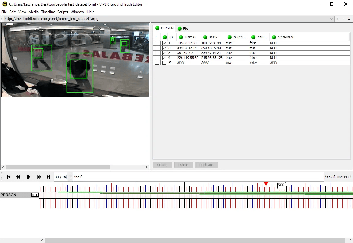
I was employed at Ipsotek as part of my industrial placement at Kingston University to annotate CCTV footage using a Java application called ViPER. This involved inspecting individual video frames and drawing accurate rectangles around people walking around in an office space. The data I produced was used as a ground truth dataset to test the results of a new computer vision algorithm being developed.
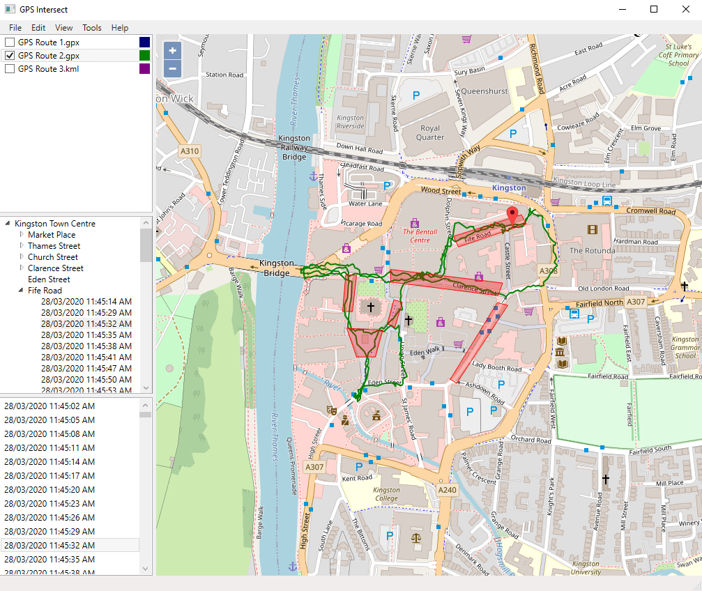
After completing the video annotation work I was asked to create a mapping application which could display a route taken by someone walking around the town using a GPS tracker and which calculated intersections with CCTV camera areas represented by polygons at specific time frames.
The source code for the GPS intersection application can be found on GitHub here.
Some other examples of my computer vision work using OpenCV and C++ can be found on GitHub here.


